A first-choice soil
for the vine
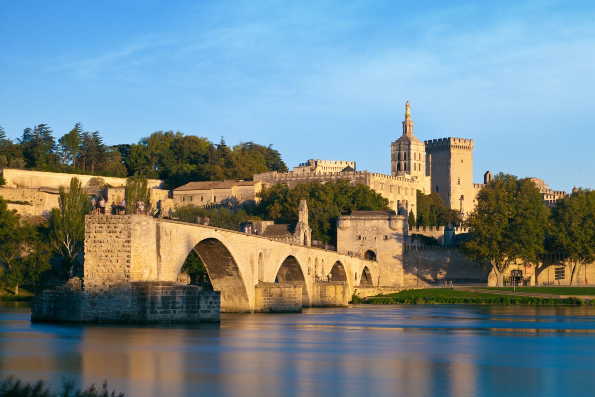
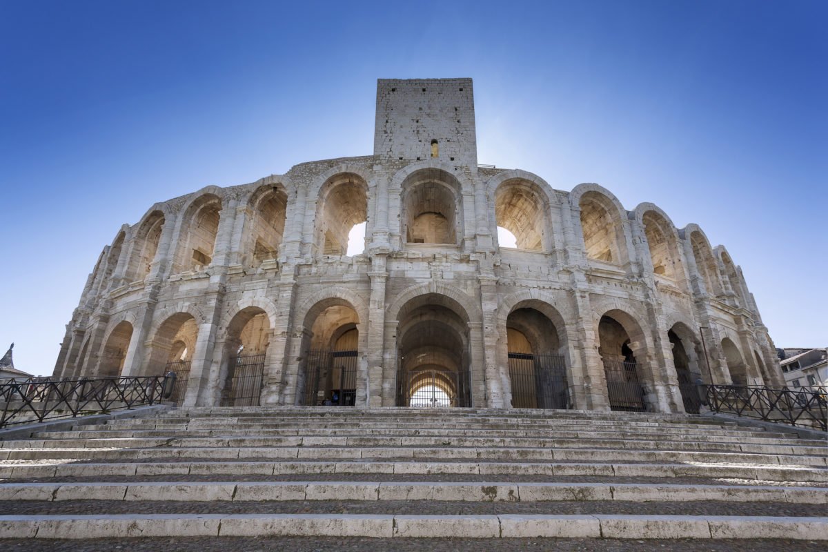
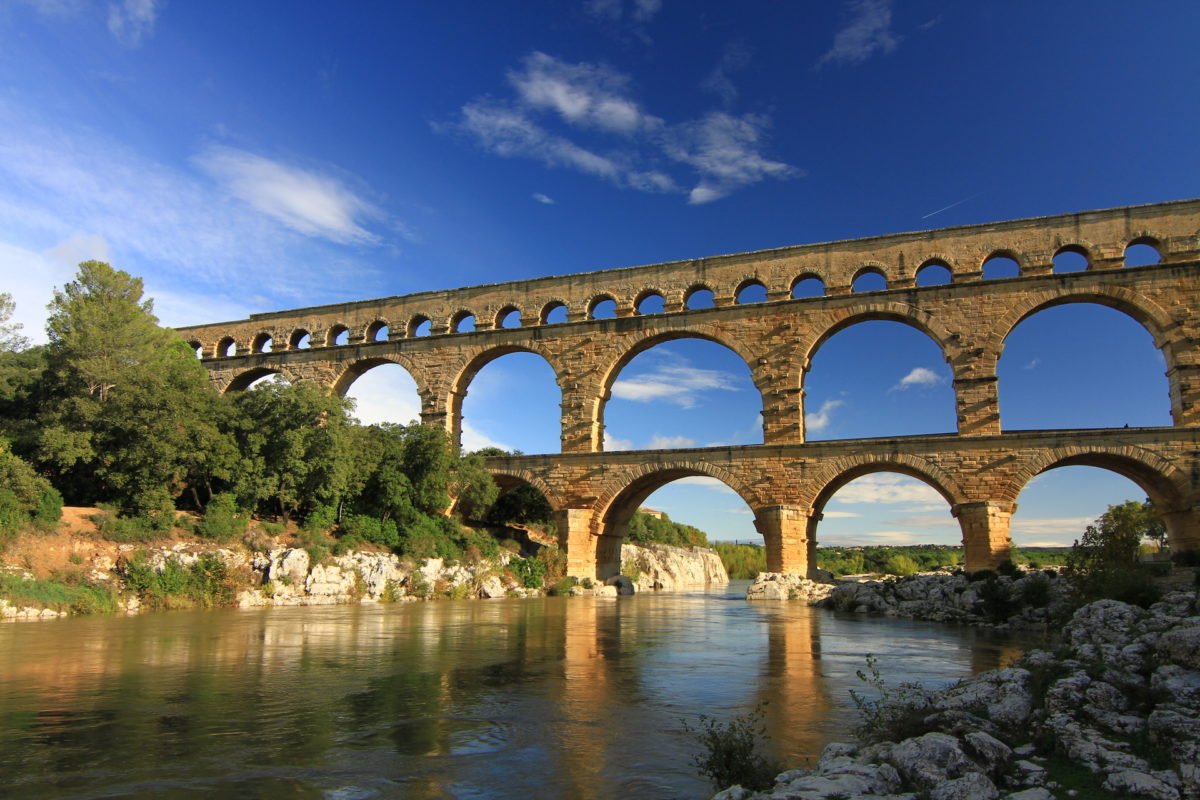
The Clos Guérin is located in the heart of the Golden Triangle, formed by the cities of Avignon, Nîmes and Arles, on a remarkable promontory of nearly one hundred and twenty hectares. Enjoying a privileged location, it dominates the confluence of the Rhône and the Gardon, facing “Les Baux de Provence” (only 20 kilometers as the crow flies) downstream of the “Pont du Gard” on the Gardon side and the “Pont d’Avignon” on the Rhône side.
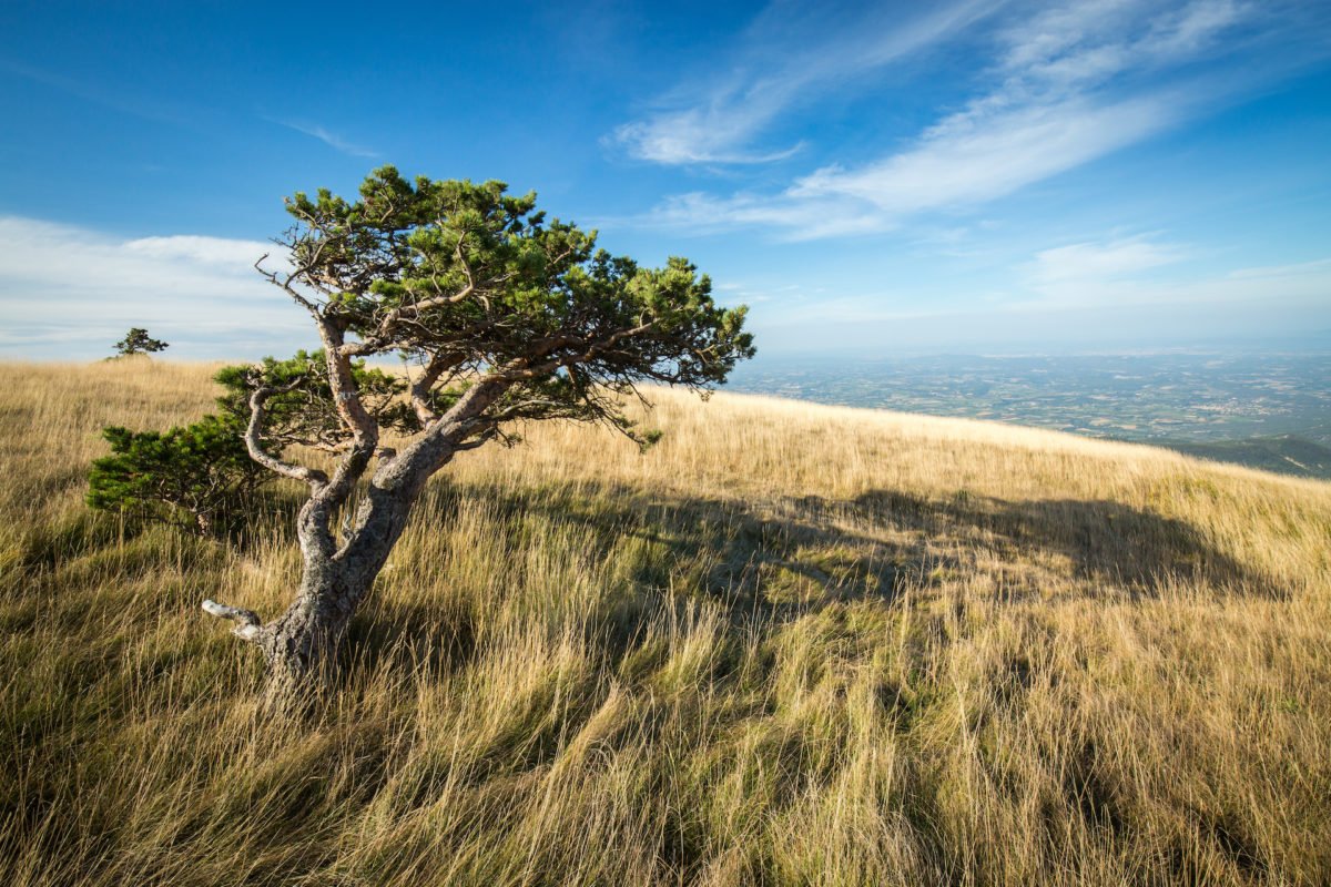
Swept by the Mistral
The plateau, which rises to an altitude of sixty meters, is regularly swept by the Mistral. Coming from the North, this powerful and dry wind blows all year long. It dries the moisture on the plant and reduces by as much the development of microorganisms that affect it.
This Mediterranean type climate is mild in winter and hot to very hot in summer. Autumn and spring are marked by heavy rains that moisten the soils and restore the water reserves.
A vestige of Quaternary era
This hill, that the Romans called Mons Ferinus because of the abundance of the game is one of the remains of the extraordinary geological events that occurred at the dawn of the Quaternary almost a million years ago. At the same time as the emergence of the Alps and the rise in land levels, we are witnessing the birth of a powerful river: the Rhône. While digging its bed, it tore huge blocks off the newly formed alpine massifs; these blocks were broken into countless pebbles and then carried along hundreds of miles.
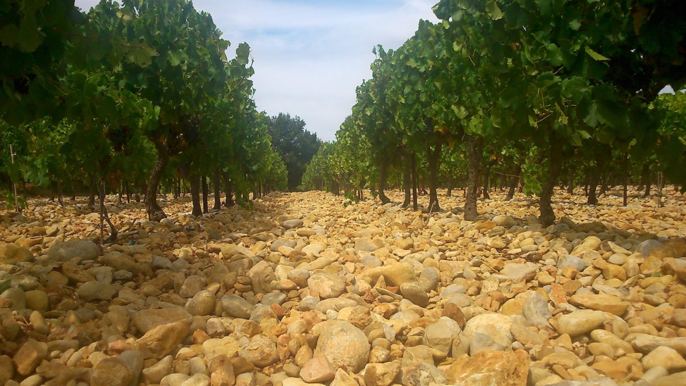
Strewn with huge pebbles
These ancient alpine diluviums, which became pebbles after millennia of years of slow erosion, now form the upper layer of the high Villafranchian terraces to which the Montfrin plateau belongs. Locally, these quartzite aggregates mixed with a matrix of red clays are present up to a depth of eight meter. They give the soil the double advantage of sanitary water permeability, reducing exposure to cryptogrammic diseases, and of an excellent thermal stability, providing freshness and fruity aromas.
Below are blue and yellowish sandy clay marls. They come from alluvial deposits of the Pliocene, a geological period when the Mediterranean Sea covered this region. This lower stratum helps to maintain an essential water reserve, ensuring the plant a water resource even in the event of severe drought.